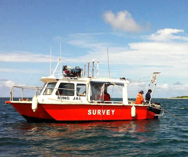
Geophysical Survey
The EGS Group has global experience
in integrated hydrographic and geophysical
surveys from intertidal environments
to full ocean depths.

The EGS Group has global experience
in integrated hydrographic and geophysical
surveys from intertidal environments
to full ocean depths.
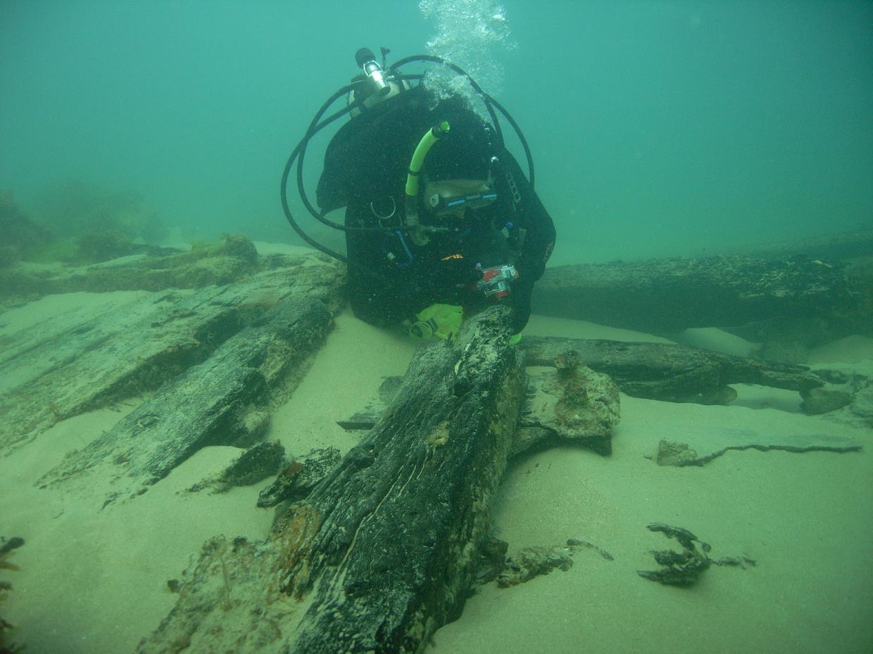
EGS understand that the science of surveying in the nearshore environment goes beyond the mere utilization of offshore survey equipment in shallow waters. Surveying in the nearshore environment requires a specialized set of skills to understand the potentially hazardous conditions of the coastal environment (such as tidal currents and surf zones).
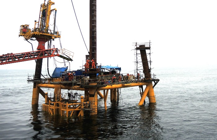
Advanced technological developments linked with more funding have meant that offshore projects are encompassing more of the ocean’s “Blue Water” environments. Whether this is increased ploughing depth to in excess of 1,000m for submarine cable installations, or deep oil/gas drilling programs, EGS is well placed to provide surveying solutions for this environment.
EGS’ services include both a desktop study ability utilizing our vast database resources, as well as field surveying and consultancy.
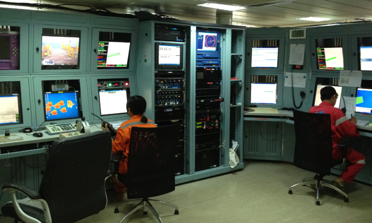
In the ever demanding Oil & Gas, Submarine Telecoms and Marine Infrastructure Industries, EGS offer bespoke near real-time report delivery by integrating data gathering and processing with onboard charting and reporting to meet the time constraints set by the client. Deliverables are provided in a professional format as per client request, including CAD and GIS formats.
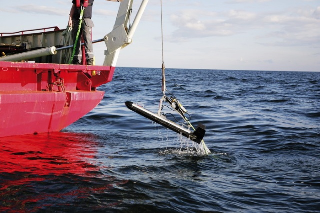
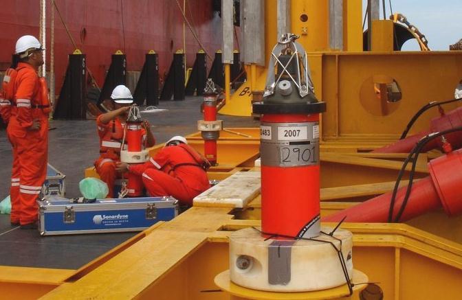
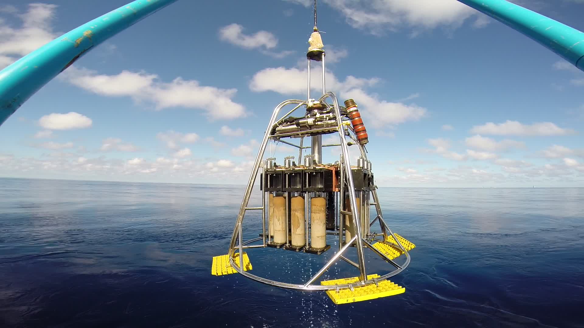
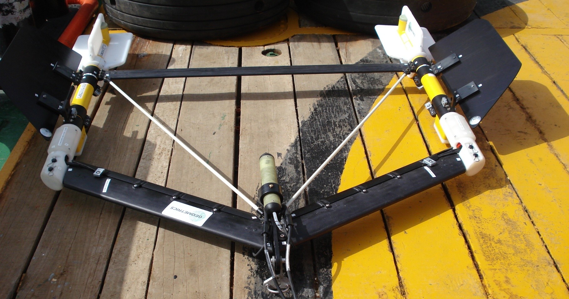
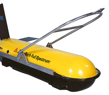
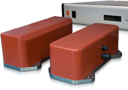
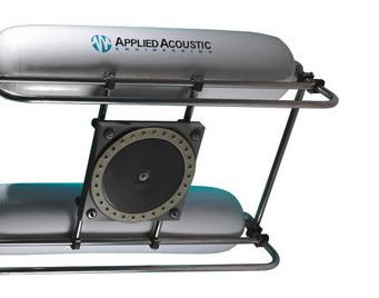
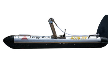
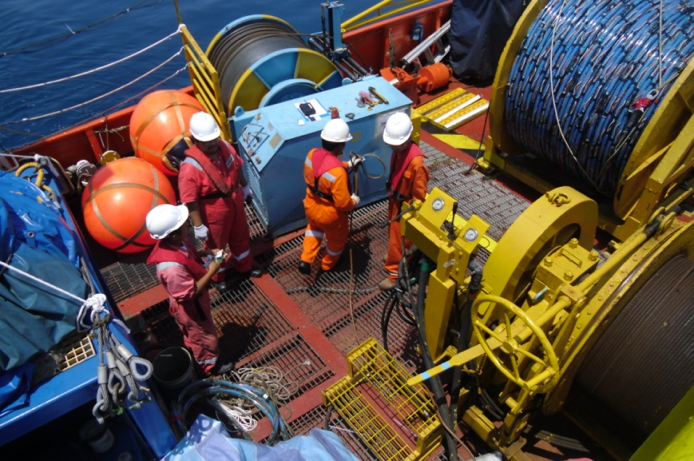
EGS own a large pool of state of the art survey equipments and employ survey techniques such as: Multibeam Echosounding Bathymetry (including the only commercially operated Simrad EM122 1 degree by 1 degree system) High Resolution, Digital Side Scan Sonar High Resolution Seismic Reflection Profiling systems and magnetic instruments for both UXO detection and geological studies.
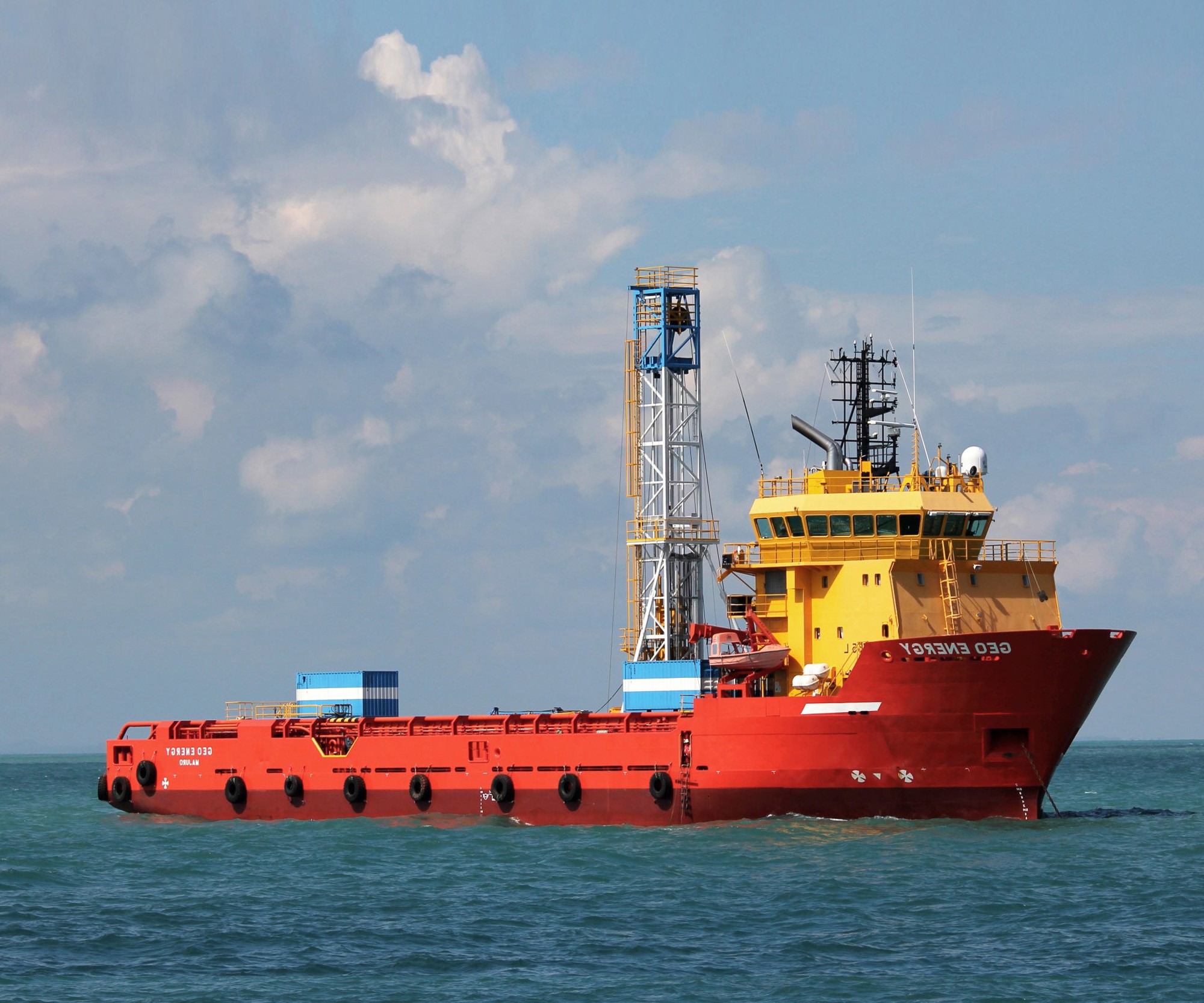
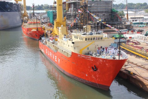
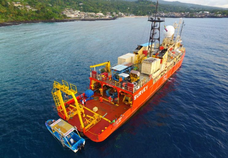
Furthermore, EGS own a fleet of five permanently mobilized survey vessels, of which two have full ocean depth capabilities, strategically located throughout the world to provide fast and cost effective mobilizations.
Geophysical Survey, Taiwan
Geophysical Survey, USA to Australia

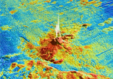
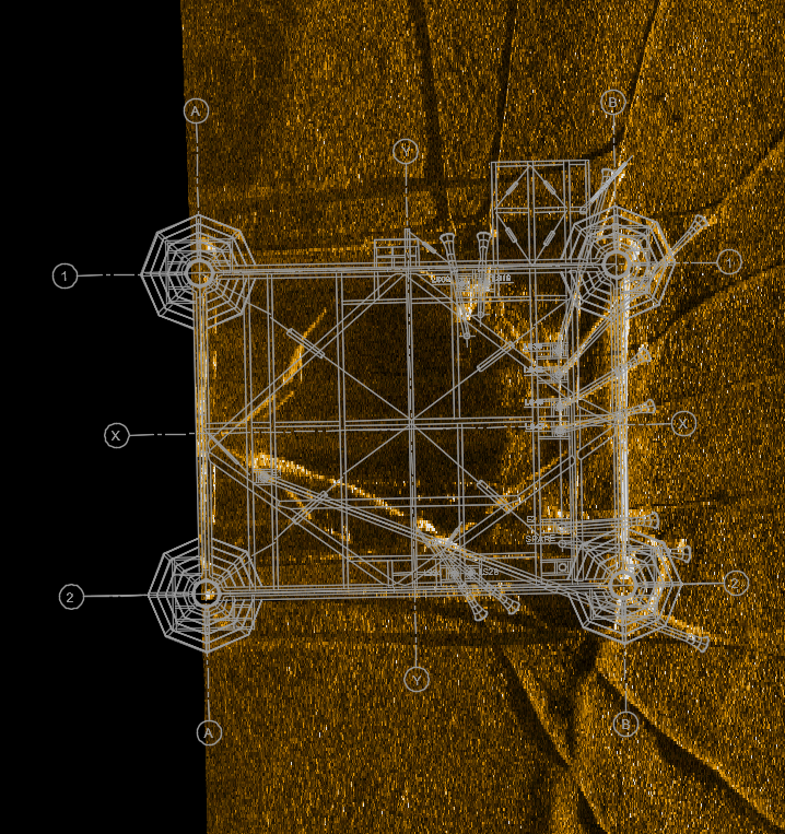
Side Scan Sonar Image
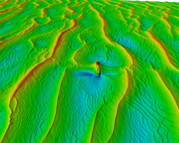
MBES Bathymetric Survey
The co-operation and working relationship between all parties during all phases of this project has been a text book example of how to conduct survey operations etc.
Holland, Geoff
I just wanted to take the opportunity presented by the end of survey data acquisition activities to say thank you and well done on the excellent performance of the EGS team through the execution of the works to date. Whilst I’m mindful that there is still much to do in terms of tide gauge recovery, data processing and deliverable preparation – the performance of all personnel involved to date from EGS and Broadsword has been exemplary and particularly, the professionalism and attention to detail of the site team. It’s also been particularly pleasing to see this complicated and challenging scope completed in such a competent and hassle-free manner.
Rhys Jones
I would like to thank you for this excellent survey. Your team was professional and knowledgeable. It was a pleasure to work with them.
Philippe Hubert
On behalf of TOTAL E&P PNG and InterOil, we would like to express our gratitude for the efficient operation of the survey as well as safe and timely return to Port Moresby. It was a pleasure working with you all on the ground. We wish you all the best in your future endeavors.
Anton A Safronov