Bathymetry & Charting


EGS regularly undertake high resolution surveys
for nautical charting purposes.
Robust processing and QC procedures are followed
prior to submission to the client and inclusion on
revised issue admiralty charts.


EGS Bathymetry & Charting Services

High Resolution IHO Special Order Surveys

 High Resolution IHO Order 1a Surveys 

Navigation Route / Channel Surveys 

Port and Harbour Surveys

Bathymetric & Charting Services

Large areas of the world’s oceans and waterways still remain unsurveyed by modern techniques. Other areas, subject to high levels of vessel traffic and with a highly mobile seabed require regular multibeam surveys to provide up to date bathymetry data for inclusion in nautical charts.

EGS regularly undertake high resolution surveys for nautical charting purposes. High levels of online quality control are paramount to ensure the acquisition of the required coverage and sounding density for target detection as defined by the IHO Special Order and IHO Order 1a specifications.

Robust processing procedures have been developed by EGS surveyors to ensure that all seabed features are identified. When submitted to the client (and maritime authorities), these features will therefore be included on the published nautical charts where they pose a hazard to vessel navigation.

In addition to bathymetry surveys of the seafloor, wreck investigations are conducted. Survey lines are run with a narrow swath angle whilst utilising water column data to ensure the shoalest point on the wreck structure is identified.

All EGS-owned vessels have permanently mobilised multibeam systems. Therefore, EGS can conduct nautical charting surveys from shallow inshore environments, harbours, ports to the offshore full-ocean depth environment.

EGS own a wide range of multibeam systems, regularly used for charting purposes, to include:

  • Kongsberg EM2040 (Ultra-High Resolution)
  • Kongsberg EM2040C (Ultra-High Resolution)
  • R2Sonic 2024 (Ultra-High Resolution)
  • Reson Seabat 7125 (Ultra High- Resolution)
  • Reson Seabat 7160 (Medium Depth)
  • Kongsberg EM3002 (High Resolution)
  • Reson Seabat 7101 (High Resolution)
  • Kongsberg EM710 (Medium Depth)
  • Kongsberg EM302 (Medium Depth)
  • Kongsberg EM122 (Full Ocean Depth)
  • Reson Seabat 7150 (Full Ocean Depth)
  • EdgeTech 6205 (Ultra-High Resolution, wide swathe bathymetry)

Inshore and full ocean depth capability

Wreck Investigation

Wreck Investigation – Water Column Data

Tidal Zone Survey

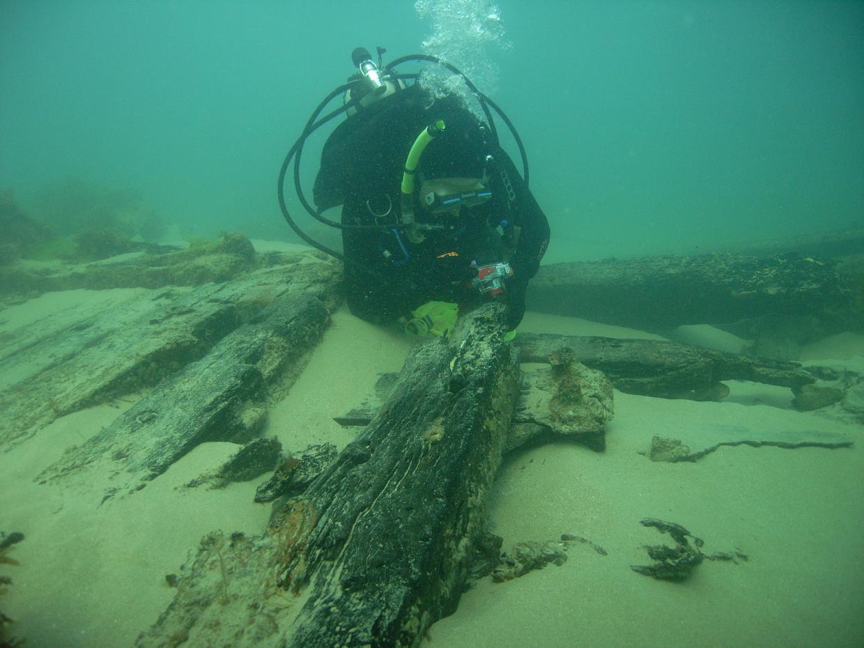
The co-operation and working relationship between all parties during all phases of this project has been a text book example of how to conduct survey operations etc.

Holland, Geoff

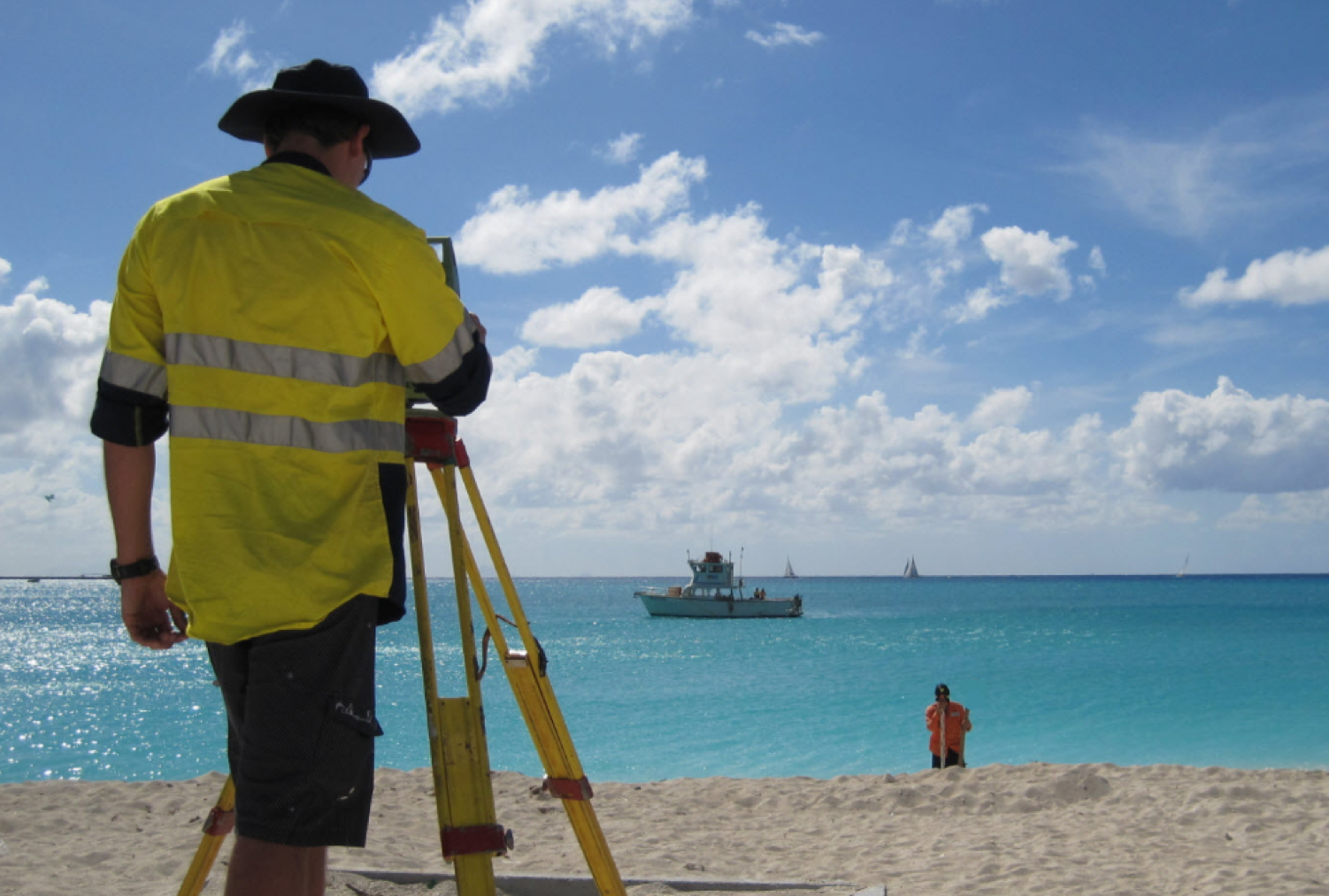
I just wanted to take the opportunity presented by the end of survey data acquisition activities to say thank you and well done on the excellent performance of the EGS team through the execution of the works to date. Whilst I’m mindful that there is still much to do in terms of tide gauge recovery, data processing and deliverable preparation – the performance of all personnel involved to date from EGS and Broadsword has been exemplary and particularly, the professionalism and attention to detail of the site team. It’s also been particularly pleasing to see this complicated and challenging scope completed in such a competent and hassle-free manner.

Rhys Jones

I would like to thank you for this excellent survey. Your team was professional and knowledgeable. It was a pleasure to work with them.

Philippe Hubert

On behalf of TOTAL E&P PNG and InterOil, we would like to express our gratitude for the efficient operation of the survey as well as safe and timely return to Port Moresby. It was a pleasure working with you all on the ground. We wish you all the best in your future endeavors.

Anton A Safronov

Multibeam Sonar

Multibeam

Survey Grade Gyrocompass

RTK GNSS

EGS Equipment

EGS Group

Hong Kong Office

Australia Office

UK Office

Indonesia Office

Vietnam Office

Other Offices