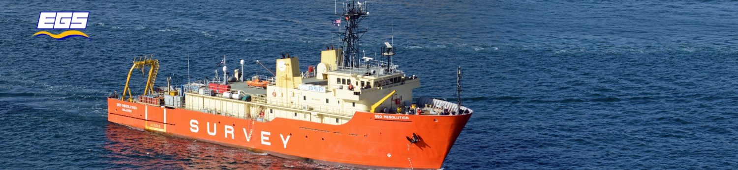

The EGS survey teams have recently commenced hydrographic survey work around the Falkland Islands. The 3-month project, due to complete in February 2020, will collect high resolution bathymetry at key areas around the islands, to support tourism activities and island development. This project has been managed and executed by EGS office in the UK.
In addition to the navigation surveys, the teams will; collect tide information and tidal stream data, investigate wrecks with ROV’s and DDV, collect panoramic photos and 360° video and also assist with aerial kelp bed mapping using a drone. Up to four vessels will be used during the survey, with local support from the islanders proving to be invaluable.
These surveys are being undertaken on behalf of the UK Hydrographic Office as part of the Overseas Territories Seabed Mapping Programme. The programme, which is helping to support safe maritime trade and develop economic growth in 14 Overseas Territories is funded by the UK Government’s Conflict, Stability and Security  Fund (CSSF) and co-ordinated by the Foreign and Commonwealth Office.
Leave a Reply
You must be logged in to post a comment.