
EGS Australia has recently completed a 7-month high resolution geophysical, UXO, and geotechnical survey campaign offshore Papua New Guinea for the Papua LNG which intends to install a pipeline from Orokolo Bay to Caution Bay, near Port Moresby. Survey operations were conducted from the 34m survey vessel Riverside Guardian and comprised analogue high resolution geophysical survey, UXO survey, digital seismic reflection with Multichannel Analysis of Surface Waves (MASW), and geotechnical investigations including onshore mobile laboratory testing.
Papua LNG management said “Completion of this survey is a major milestone for the Papua LNG Project. EGS has proven their capabilities to support in an efficient way the technical constraints for this project. No incidents were faced during the 7 months of this survey and planning has been well executed. This success will contribute to reaching our main goal: to bring our first gas from Antelope and Elk by September 2027. Thanks, EGS for the delivery of your part of scope”.
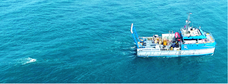
Survey Vessel Riverside Guardian towing geophysical survey equipment
The Geophysical component involved the acquisition and processing of high-resolution MBES data (Kongsberg 2040), side scan sonar data (Edgetech 4200), and shallow geology data using both an Innomar sub-bottom profiler (SBP) and an Applied Acoustics 400 TIPSparker. OmniStar G4+ corrections, tightly coupled POS MV INS, and Sonardyne Ranger 2 USBL tracking ensured the best in industry quality positioning on all sensors.
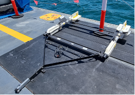
EGS Geometrics TVG
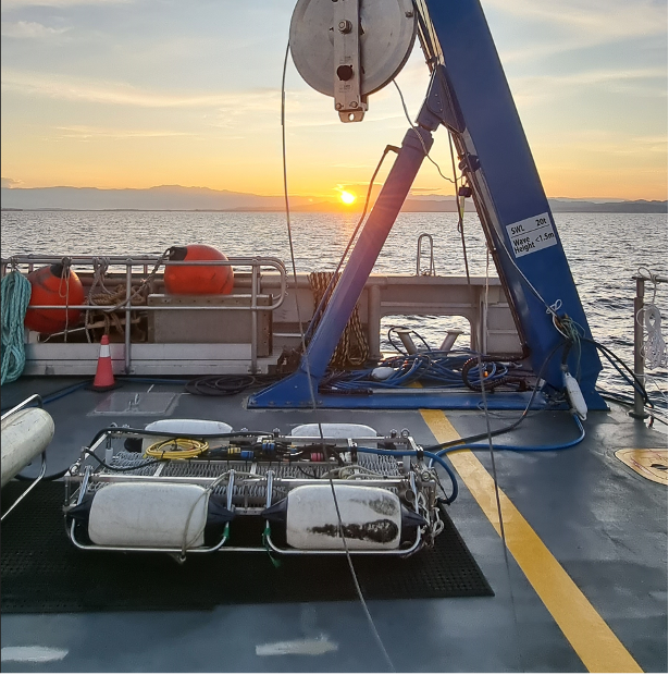
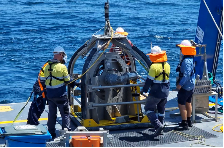
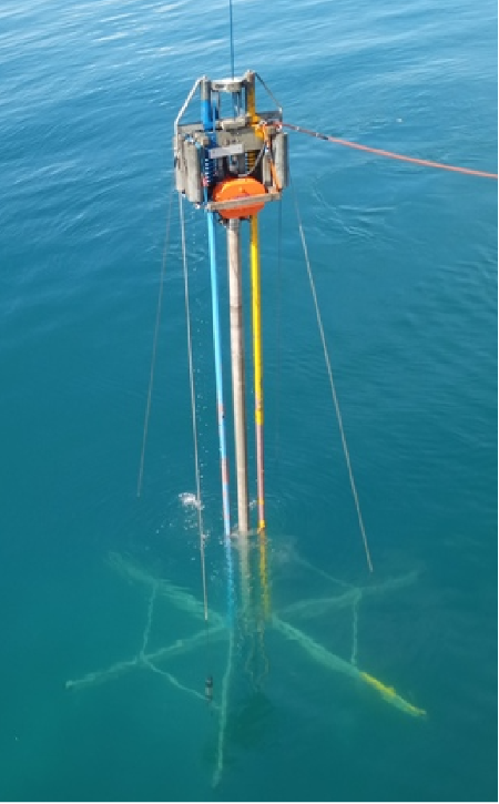
The UXO survey was undertaken using an EIVA Scanfish Katria 3D ROTV to tow a 4x Geometrics G-882 magnetometer array at 5m line spacing. The MBES data from the Geophysical survey stage was used to plan the UXO survey so that the ROTV could be flown within 4m of the seabed and the 3D option with USBL tracking allowed steering precise lines to achieve full coverage. In areas too shallow for the Riverside Guardian, the 8m aluminium EGS Independence survey launch was used to tow a TVG gradiometer using a GNSS tail buoy to survey over the shallow reef line up to the shoreline. Potential ferrous targets were then investigated using a mini ROV for visual confirmation on magnetic anomalies of interest.
The multichannel seismic work (refraction) was carried out to complement the 2d high-resolution seismic acquisition. Seismic source included mini airguns and acquisition with Geometrics Geode seismograph, deploying streamers using both towed and static modes with a mix of 24 x 1m / 2m / 4m, and 48 x 1m arrays. Geotechnical investigations were conducted utilizing a 6 metre Vibrocore system and a Datem Neptune Seabed CPT unit. A Box Corer was also used for some locations and a grab sampler in the very shallow areas where only the small boat could access. After cutting core samples to 1m lengths and initial offshore tests the cores were stored onboard in a 20ft reefer container prior to transferring onshore for further lab testing.
EGS mobilised it’s containerised geotechnical processing laboratory to Port Moresby and a 2-month onshore testing campaign followed the offshore sampling. This extensive project demonstrates EGS capabilities in a diverse range of operations using largely EGS-owned equipment. The operations were conducted safely, without any lost time injury, and the data is of excellent quality.
For further details visit EGS Australia website at www.egssurvey.com.au or contact us at: info@egssurvey.com.au
Leave a Reply
You must be logged in to post a comment.